
Sean C Jackson is an artist who draws maps and mazes. The Guardian featured his work recently, and you can see it here. His maps are mostly imaginary, but ask the viewer to dive into the world he has created and puzzle through it. Most of the works sit somewhere between 2 and 3 dimensions, which can make for some disorientation at times, and asks you to engage with the work by turning either your head or the page.
Topography and mapping can be useful ways of visualising ESL, interactions, and social phenomena. Like a map, an ESL can highlight the relevant and hide the irrelevant. Like a map-maker, the researcher using an ESL must choose what is relevant and important and why. Like a map, an ESL lens can also zoom in on areas that are more important, while identifying but minimising others. As a result, we can appreciate the whole landscape in all its complexity and understand the context of the research.
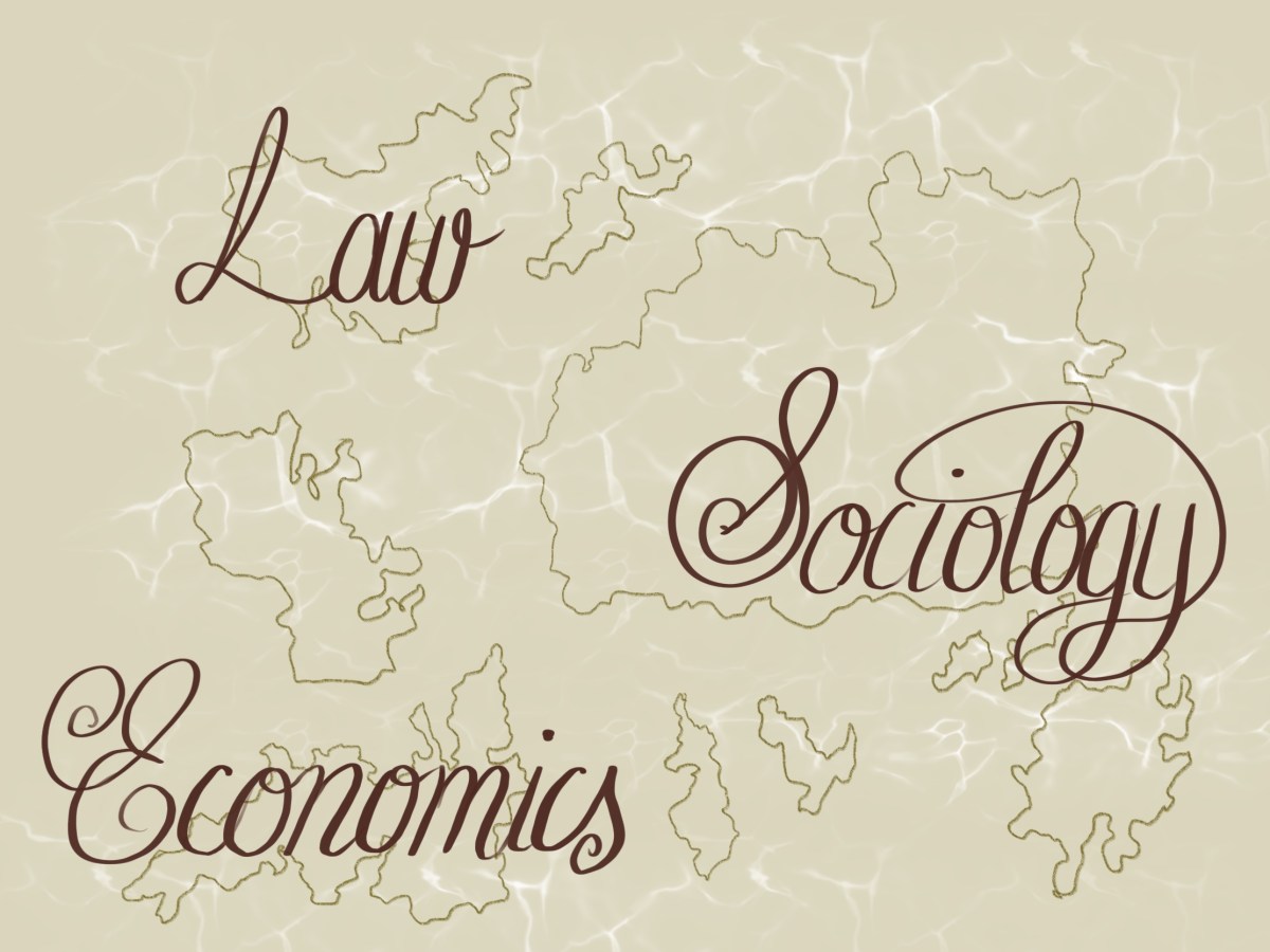
If we were to map out current mainstream approaches in law, economics and sociology, how might it look? The picture below is a (stylised) suggestion that the academic silos of law, economics and sociology would look be islands of research endeavour. They are separated by sea, and generally have their own languages, cultures, and traditions. Some brave interdisciplinary scholars traverse the seas and work on two or more islands, but many do not.

How might it look if we were to draw an ESL as a response to these islands? Would they converge? Would we need bridges, ships, or loudspeakers? Would this enable inter-island dialogue, or just increase competition? And what could a map of the topography of ESL tell us about the lens?
